TRAFFIC & WEATHER

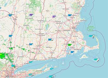
INTERACTIVE RADAR MAP
Click Map Below for Radar Conditions
TRAFFIC
Rob Gilman is WATD’s Chief Meteorologist

Important Weather Links:
South Shore Tide Charts (By Massachusetts Marine Trades Association)
Important Utility Contacts:
NATIONAL GRID
Toll Free Emergency Outage Reporting Number
1-800-465-1212
To get text message alerts and updates through a free National Grid service:
Text the word STORM to NGRID (64743) to sign-up for the service.
EVERSOURCE
Toll Free Emergency Outage Reporting Number
1-800-592-2000
Click Here for the
MASSACHUSETTS EMERGENCY MANAGEMENT AGENCY
For non-emergency assistance and information (including shelter locations), call 2-1-1 or visit www.mass211.org.
People who depend on electric-powered life support equipment, such as a respirator, should let National Grid know.
To register as a life support customer, call the
Customer Service Center:
1-800-322-3223
WATD TRAFFIC REPORTER

Malcolm Alter
Traffic Reporter

TRAFFIC
Real Time Traffic Center
See an accident or backup?
Call 781-837-4900 and be a “WATD Road Reporter”
Driving in Traffic?
(You shouldn’t be looking at your phone!)
Listen in to Traffic on the 9′s on 95.9 FM WATD!
